
EXCLUSIVE: Super El Niño Risk Puts US Drought, Flood Patterns Back in Focus


Forecasting El Niño is never a clean science. Computer models can line up, ocean temperatures can send a clear signal, and the atmosphere can still find a way to complicate the story. But this summer, forecasters are becoming harder to ignore: the current El Niño is strengthening, and AccuWeather experts now see a 70 percent chance that it could become a “Super El Niño”.
That matters because El Niño is not just a Pacific Ocean event. It is one of the planet’s major climate pattern-shifters, capable of rearranging storm tracks, drought zones, flood risks and temperature patterns across the United States and far beyond.
The latest concern is rooted in the central and eastern tropical Pacific, where sea surface temperatures have continued to warm. The National Oceanic and Atmospheric Administration’s Climate Prediction Center has said there is a very high probability that this El Niño will become strong or very strong over the coming months. In common weather shorthand, very strong El Niños are often referred to as “Super El Niños”.
AccuWeather’s long-range team is watching the same ocean-atmosphere setup closely.
“This prediction is based on a number of factors, including continued westerly wind bursts bringing warm water from the West Pacific into the central and eastern Equatorial Pacific,” Chad Merrill, Senior Meteorologist at AccuWeather, said. “The sea surface temperature anomalies in the Nino 3.4 region continue to show consistent warming since the middle of April and there is strong forecast model support for a Very Strong El Nino.”
That is the core of the forecast. El Niño develops when unusually warm water builds across the central and eastern equatorial Pacific, while normal trade wind patterns weaken or reverse. Those wind shifts allow warm water from the western Pacific to move eastward, reinforcing the warming pattern. Once that feedback loop gets going, it can become difficult to slow quickly.
The Niño 3.4 region, which Merrill pointed to, is one of the key zones scientists monitor when determining the strength of El Niño. Consistent warming there is one reason forecasters are now taking the “Super El Niño” scenario seriously.
But strength is only part of the story. Timing matters too.
“El Nino events usually do reach their peak in the early part of the winter before fading late in the winter into the spring,” Merrill said.
He pointed to the very strong 2015-16 El Niño as an example. During that event, sea surface temperatures in the equatorial Pacific were warmest during the November-December-January period, then gradually cooled later in winter before the event ended in late spring.
That pattern is important because even after El Niño begins to fade, its influence can linger across the atmosphere. The ocean may start cooling, but weather patterns often take longer to reset.
“As for the weather patterns, there is usually a lag period where El Niño ends but El Niño-like patterns continue for a few more months,” Merrill said. “Spring into early Summer following our top best-matched years or analogs shows wetter than average conditions from the Mississippi Valley to the East Coast, dry in Florida and dry in the northern part of the Rockies. California into the Southwest tend to be wetter than average.”
That is the familiar El Niño split: wetter risks across parts of the southern tier and California, but drier tendencies farther north in some regions. For California, especially Southern California, a very strong El Niño often raises concern about heavy winter rainfall, flash flooding, landslides and coastal impacts.
The pattern has a long memory in the state. Some of California’s most destructive winters have been associated with strong El Niño events, including years when downtown Los Angeles received far more rain than normal. But the relationship is not automatic. The 2015-16 El Niño was very strong, yet Southern California did not see the kind of rainfall many had expected.
That is why forecasters tend to speak carefully. A strong El Niño increases the odds of certain outcomes; it does not guarantee them.
The bigger complication this year is that El Niño is developing against a backdrop of already-warm oceans. Global sea surface temperatures have been running at record levels for this time of year, and El Niño typically adds more heat to the atmosphere. That can raise the risk of heat extremes on land and at sea, while also helping storms carry more moisture where conditions line up for heavy precipitation.
For the Plains, however, the concern is less about too much water and more about what happens when the wet signal does not arrive often enough.
AccuWeather has warned that after strong El Niño events, parts of the Plains from Texas into the Dakotas can remain significantly drier for two to three years. Merrill said that vulnerability is rooted in the region’s longer-term drying trend.
“This area over the past 30-years has run drier than average, especially the southwest part of the Plains,” he said. “Soil has become drier and drier over the years.”
That dry starting point matters. When soils are already depleted, a few rounds of rain may not be enough to reverse drought conditions. Dry soil also heats up more quickly and can reinforce local dryness by limiting evaporation and reducing moisture available to the lower atmosphere.
Merrill said the western Plains and West Texas can benefit from El Niño years, but they do not come often enough to fully offset the drier years between them.
“West Texas and the western part of the Plains will get some rain in El Nino years but El Nino years happen less frequently than La Niña years and Neutral years (which is neither an El Niño or La Niña),” Merrill said. “Therefore, West Texas and the western part of the Plains have not been able to cash in on multiple repeating years with good amounts of precipitation.”
The numbers underline the problem. Since 1950, Merrill said, there have been 24 El Niño events, 24 La Niña events and 28 neutral events. That means the combined number of La Niña and neutral years is more than double the number of El Niño years.
Back-to-back El Niño events have also been rare. Merrill noted only three such sequences since 1950: 1968-69 and 1969-70, 1976-77 and 1977-78, and 1986-87 and 1987-88.
That leaves the Plains exposed. Even when El Niño brings some precipitation, the region may not get enough consecutive wet years to rebuild soil moisture, restore water systems and fully break persistent drought.
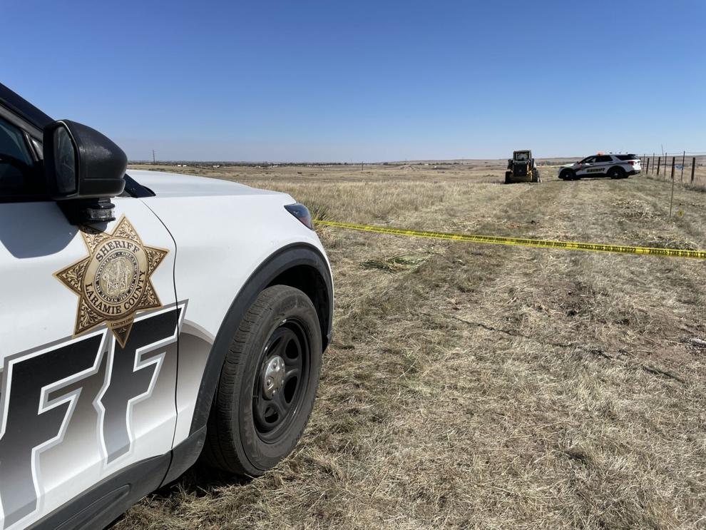
Wyoming is in a similarly tricky position. The state is already seeing a sharp increase in extreme drought conditions compared with the same time last year. A strengthening El Niño might sound like good news at first glance, but history does not offer much comfort for the state.
“Our long-range team expects the drought to worsen in the western part of Wyoming and stay the same for the remainder of the state into early Fall,” Merrill said. “Very Strong El Niño winters are not historically known for delivering above average precipitation (rain and snow) to Wyoming. They are known for bringing above average precipitation to the West Coast and at times the Southwest, however.”
That is the awkward reality of El Niño for inland western states. The same pattern that can raise flood risk in California or improve precipitation odds in parts of the Southwest may bypass Wyoming or leave it with little meaningful drought relief.
For agriculture, water planning and wildfire risk, that starting point matters. If drought is already intensifying before winter, and if a very strong El Niño does not reliably deliver above-average precipitation to Wyoming, then the state may enter the colder months with limited natural help from the broader climate pattern.
The broader US outlook is therefore not one simple El Niño headline. It is a map of competing risks. California and the Southwest may face higher odds of wet conditions. The Mississippi Valley to the East Coast could remain wetter than average into the spring and early summer lag period. Florida and the northern Rockies may lean drier. The Plains could face a longer drought hangover. Wyoming, despite the noise around a possible Super El Niño, may not get the rescue people might assume.
The latest news in your social feeds
Subscribe to our social media platforms to stay tuned